קובץ:Omagari district Daisen city center area Aerial photograph.1976.jpg

גודל התצוגה המקדימה הזאת: 466 × 599 פיקסלים. רזולוציות אחרות: 186 × 240 פיקסלים | 373 × 480 פיקסלים | 597 × 768 פיקסלים | 796 × 1,024 פיקסלים | 1,592 × 2,048 פיקסלים | 5,793 × 7,451 פיקסלים.
לקובץ המקורי (5,793 × 7,451 פיקסלים, גודל הקובץ: 32.99 מ"ב, סוג MIME: image/jpeg)
| זהו קובץ שמקורו במיזם ויקישיתוף. תיאורו בדף תיאור הקובץ המקורי (בעברית) מוצג למטה. |
תקציר
| תיאור |
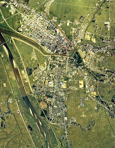
English: Omagari district Daisen city center area Aerial photograph.1976
日本語: 大曲地区(秋田県大仙市)周辺の空中写真。cto-76-8_c4cの8,9,10、cto-76-8_c5cの24,25,26、cto-76-8_c6aの53,54,55、合計9枚を合成作成。 |
| תאריך יצירה | |
| מקור | 国土情報ウェブマッピングシステム |
| יוצר | 国土交通省 |
רישיון

|
בעלי זכויות היוצרים על הקובץ הזה, משרד הקרקעות, התשתיות, התחבורה והתיירות (יפן), מאשרים לכולם להשתמש בו לכל מטרה, בתנאי שניתן לבעלי הזכויות ייחוס נאות. הפצה, יצירות נגזרות, שימושים מסחריים וכל שימוש אחר מותרים. |
ייחוס:
Copyright © National Land Image Information (Color Aerial Photographs), Ministry of Land, Infrastructure, Transport and Tourism
|
 |
This image is copyrighted by the Ministry of Land, Infrastructure, Transport and Tourism of Japan. For terms of use, see the stipulation to use of National Land Information (in Japanese) and message from MLIT (in Japanese and English). When you display this image on an article, include the following phrase in the description: "Made based on National Land Image Information (Color Aerial Photographs), Ministry of Land, Infrastructure, Transport and Tourism".
|
היסטוריית הקובץ
ניתן ללחוץ על תאריך/שעה כדי לראות את הקובץ כפי שנראה באותו זמן.
| תאריך/שעה | תמונה ממוזערת | ממדים | משתמש | הערה | |
|---|---|---|---|---|---|
| נוכחית | 09:28, 13 בדצמבר 2013 | | 7,451 × 5,793 (32.99 מ"ב) | さかおり | {{Information |Description ={{en|1=Omagari district Daisen city center area Aerial photograph.1976}} {{ja|1=大曲地区(秋田県大仙市)周辺の空中写真。cto-76-8_c4cの8,9,10、cto-76-8_c5cの24,25,26、cto-76-8_c6aの53,54,55、合�... |
שימוש בקובץ
הדף הבא משתמש בקובץ הזה:
שימוש גלובלי בקובץ
אתרי הוויקי השונים הבאים משתמשים בקובץ זה:
- שימוש באתר en.wikipedia.org
- שימוש באתר fi.wikipedia.org
- שימוש באתר ja.wikipedia.org
- שימוש באתר uz.wikipedia.org
- שימוש באתר zh.wikipedia.org