קובץ:Paris department land cover location map.svg

גודל התצוגה המקדימה הזאת מסוג PNG של קובץ ה־SVG הזה: 800 × 521 פיקסלים. רזולוציות אחרות: 320 × 208 פיקסלים | 640 × 417 פיקסלים | 1,024 × 667 פיקסלים | 1,280 × 834 פיקסלים | 2,560 × 1,667 פיקסלים | 1,371 × 893 פיקסלים.
לקובץ המקורי (קובץ SVG, הגודל המקורי: 1,371 × 893 פיקסלים, גודל הקובץ: 6.75 מ"ב)
| זהו קובץ שמקורו במיזם ויקישיתוף. תיאורו בדף תיאור הקובץ המקורי (בעברית) מוצג למטה. |
תקציר
| כותר |
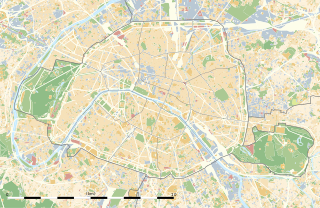
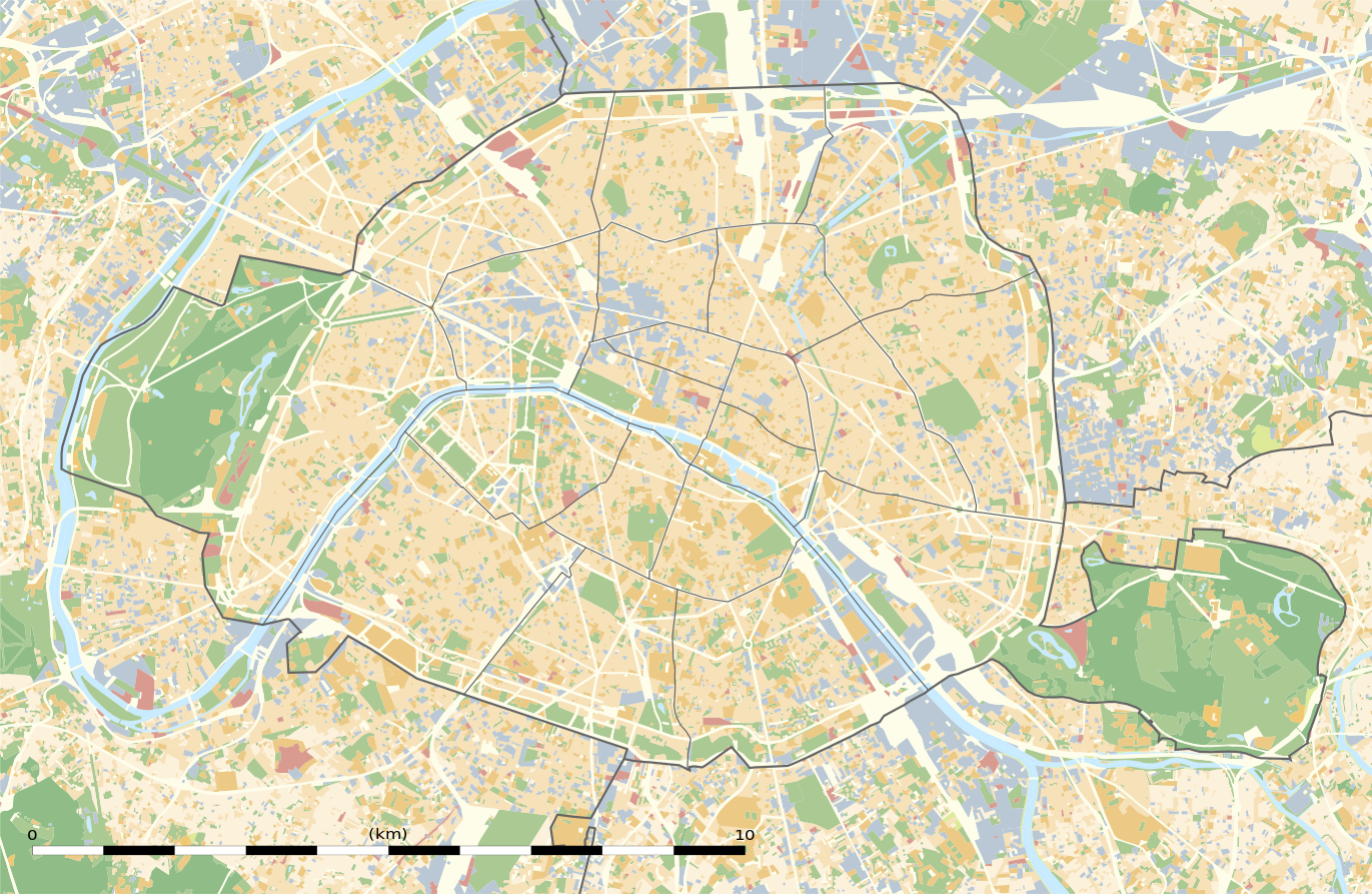
Blank land cover map of the city and department of Paris, France |
||||||||||||||||||||||||||||||||||||
| תיאור |
English: Blank land cover map of the city and department of Paris, France, as in January 2012, for geo-location purpose, with distinct boundaries for departments and arrondissements.
Français : Carte vierge de l'occupation du sol de la ville et département de Paris, France, tel qu'en janvier 2012, destinée à la géolocalisation, avec limite distincte des départements et arrondissements. |
||||||||||||||||||||||||||||||||||||
| Map legend |
|
||||||||||||||||||||||||||||||||||||
| תאריך יצירה | |||||||||||||||||||||||||||||||||||||
| מקור |
נוצר על־ידי מעלה היצירה
|
||||||||||||||||||||||||||||||||||||
| יוצר | |||||||||||||||||||||||||||||||||||||
| אישורים והיתרים (שימוש חוזר בקובץ זה) |
|
||||||||||||||||||||||||||||||||||||
| Geotemporal data | |||||||||||||||||||||||||||||||||||||
| תאריך מתואר | |||||||||||||||||||||||||||||||||||||
| Map location | פריז 48°51′24″N 2°21′03″E / 48.8567°N 2.3508°E | ||||||||||||||||||||||||||||||||||||
| Spatial reference system | WGS84 datum | ||||||||||||||||||||||||||||||||||||
| קנה מידה | 1:124,000 (precision: 31 m) | ||||||||||||||||||||||||||||||||||||
| Heading |
 |
||||||||||||||||||||||||||||||||||||
| Bounding box |
|
||||||||||||||||||||||||||||||||||||
| Georeferencing | If inappropriate please set warp_status = skip to hide. | ||||||||||||||||||||||||||||||||||||
| גרסאות אחרות |
|
||||||||||||||||||||||||||||||||||||


רישיון
Eric Gaba, Wikimedia Commons user Sting, בעל זכויות היוצרים על היצירה הזאת, מפרסם אותה בזאת תחת הרישיון הבא:
הקובץ הזה מתפרסם לפי תנאי רישיון קריאייטיב קומונז ייחוס-שיתוף זהה 3.0 לא מותאם.
ייחוס: Eric Gaba, Wikimedia Commons user Sting
- הנכם רשאים:
- לשתף – להעתיק, להפיץ ולהעביר את העבודה
- לערבב בין עבודות – להתאים את העבודה
- תחת התנאים הבאים:
- ייחוס – יש לתת ייחוס הולם, לתת קישור לרישיון, ולציין אם נעשו שינויים. אפשר לעשות את זה בכל צורה סבירה, אבל לא בשום צורה שמשתמע ממנה שמעניק הרישיון תומך בך או בשימוש שלך.
- שיתוף זהה – אם תיצרו רמיקס, תשנו, או תבנו על החומר, חובה עליכם להפיץ את התרומות שלך לפי תנאי רישיון זהה או תואם למקור.
היסטוריית הקובץ
ניתן ללחוץ על תאריך/שעה כדי לראות את הקובץ כפי שנראה באותו זמן.
| תאריך/שעה | תמונה ממוזערת | ממדים | משתמש | הערה | |
|---|---|---|---|---|---|
| נוכחית | 05:18, 12 בפברואר 2015 | | 893 × 1,371 (6.75 מ"ב) | Sting | == {{int:filedesc}} == {{Location|48|51|22.5|N|02|20|37.5|E|scale:50000}} {{Information |Description={{en|Blank land cover map of the city and department of Paris, France, as in January 2012, for geo-location purpose, with distinct bounda... |
שימוש בקובץ
יותר מ־100 דפים משתמשים בקובץ זה. הרשימה הבאה מראה רק את 100 הדפים הראשונים שמשתמשים בקובץ. ניתן לצפות ברשימה המלאה.
- אונסק"ו
- אופרה בסטיליה
- איל דה לה סיטה
- איל סן לואי
- אקול נורמל סופרייר
- ארמון האליזה
- ארמון טווילרי
- בזיליקת הלב הקדוש (פריז)
- ביסטר
- בית החולים פיטייה סלפטרייר
- בית הספר הלאומי הגבוה לאמנויות היפות
- בית הספר ללימודים גבוהים במדעי החברה
- בית הקברות מונפרנאס
- בית הקברות של מונמארטר
- בסטיליה
- גני טווילרי
- גני טרוקדרו
- גרנד ארש
- גשר אלכסנדר השלישי
- גשר נוטרדאם
- האוניברסיטה האמריקאית בפריז
- האופרה גרנייה
- האינווליד
- האקדמיה הצרפתית למדעים
- האקדמיה לאמנויות היפות
- הגלריה הלאומית ז'ה דה פום
- המארה
- המוזיאון לאומנויות ולמקצועות
- הספרייה הלאומית של צרפת
- הקונסיירז'רי
- הקטקומבות של פריז
- הרובע הלטיני
- ולודרום דה ונסן
- טירת ונסן
- יער בולון
- יער ונסן
- כיכר הבסטיליה
- כיכר העירייה של פריז
- כיכר הקונקורד
- כיכר ויקטואר
- כיכר ונדום
- כיכר טרטרה
- כיכר קרוסל
- כיכר שארל דה גול
- כנסיית סן-סולפיס
- כנסיית סן ז'רמן דה פרה
- כנסיית סנט אסטאש
- מגדל אייפל
- מגדל מונפרנאס
- מוזיאון גוסטב מורו
- מוזיאון גימה
- מוזיאון ד'אורסה
- מוזיאון האדם
- מוזיאון האורנז'רי
- מוזיאון הארוטיקה (פריז)
- מוזיאון הביוב של פריז
- מוזיאון הלובר
- מוזיאון הצבא (פריז)
- מוזיאון לוקסמבורג
- מוזיאון מונמארטר
- מוזיאון מסדר השחרור
- מוזיאון מפות התבליט
- מוזיאון מרמוטאן מונה
- מוזיאון נסים דה קמונדו
- מוזיאון פיקאסו (פריז)
- מוזיאון פסטר
- מוזיאון קה בראנלי
- מוזיאון קירי
- מוזיאון קלוני
- מוזיאון קרנוולה
- מוזיאון רדיו צרפת
- מוזיאון רודן
- מולן דה לה גאלט
- מולן רוז'
- מונמארטר
- מונפרנאס
- מכון פסטר
- מרכז ז'ורז' פומפידו
- סנט שאפל
- פאלה דה טוקיו
- פאלה רויאל
- פארק דה בוט שומון
- פארק דה לה וילט
- פארק דה פראנס
- פארק מונסו
- פארק מונסורי
- פון נף
- פלאס דה ווז'
- פר לשז
- קולז' דה פראנס
- קפה דה לה רז'אנס
- קתדרלת נוטרדאם (פריז)
- רחוב רישלייה
- שאטלה
- שאן דה מארס
- שאנז אליזה
- שדרות סן-מישל
- שער הניצחון בפריז
- שער הניצחון של קרוסל
- שער סן-דני
ישנם דפים נוספים שמשתמשים בקובץ זה.
שימוש גלובלי בקובץ
אתרי הוויקי השונים הבאים משתמשים בקובץ זה:
- שימוש באתר als.wikipedia.org
- שימוש באתר ar.wikipedia.org
- שימוש באתר ast.wikipedia.org
- שימוש באתר azb.wikipedia.org
- שימוש באתר az.wikipedia.org
- שימוש באתר be.wikipedia.org
- שימוש באתר bg.wikipedia.org
- Бастилия
- Отьой
- Дефанс
- Пер Лашез
- Халите (Париж)
- Музей Орсе
- Монмартър
- Университет „Париж-VI: Пиер и Мария Кюри“
- Университет Париж-I Пантеон-Сорбона
- Университет Париж-VII: Дени Дидро
- Университет Пари-Дофин
- Национална библиотека на Франция
- Александър III (мост)
- Ил дьо ла Сите
- Монпарнас
- Маре (Париж)
- Жусийо (кампус)
- Музей на изкуството и историята на юдаизма
- Шаблон:ПК Франция Париж