קובץ:East China Sea location map OSM.svg

גודל התצוגה המקדימה הזאת מסוג PNG של קובץ ה־SVG הזה: 680 × 600 פיקסלים. רזולוציות אחרות: 272 × 240 פיקסלים | 544 × 480 פיקסלים | 870 × 768 פיקסלים | 1,161 × 1,024 פיקסלים | 2,321 × 2,048 פיקסלים | 1,360 × 1,200 פיקסלים.
לקובץ המקורי (קובץ SVG, הגודל המקורי: 1,360 × 1,200 פיקסלים, גודל הקובץ: 153 ק"ב)
| זהו קובץ שמקורו במיזם ויקישיתוף. תיאורו בדף תיאור הקובץ המקורי (בעברית) מוצג למטה. |
תקציר
| תיאור |
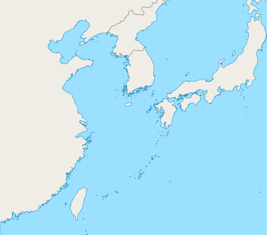
English: Mercator projection map of the East China Sea.
Geographic limits of the map:
|
| תאריך יצירה | |
| מקור | Coastline and border are based on OpenStreetMap. |
| יוצר | OpenStreetMap contributors, and Pekachu |
רישיון
| This work contains information from OpenStreetMap, which is made available under the Open Database License (ODbL).
The ODbL does not require any particular license for maps produced from ODbL data. Prior to 1 August 2020, map tiles produced by the OpenStreetMap Foundation were licensed under the CC-BY-SA-2.0 license. Maps produced by other people may be subject to other licences. |
היסטוריית הקובץ
ניתן ללחוץ על תאריך/שעה כדי לראות את הקובץ כפי שנראה באותו זמן.
| תאריך/שעה | תמונה ממוזערת | ממדים | משתמש | הערה | |
|---|---|---|---|---|---|
| נוכחית | 06:13, 5 באוקטובר 2019 | | 1,200 × 1,360 (153 ק"ב) | Geographyinitiative | The maritime boundary lines were straight lines in the ocean- disputed & inexact at best. Also, the ROC-PRC maritime boundary was not included. The best solution for now is not having any lines. A map with exact maritime boundaries would be useful. |
| 17:25, 10 באוגוסט 2015 |  | 1,200 × 1,360 (158 ק"ב) | Pekachu | User created page with UploadWizard |
שימוש בקובץ
![]() אין בוויקיפדיה דפים המשתמשים בקובץ זה.
אין בוויקיפדיה דפים המשתמשים בקובץ זה.
שימוש גלובלי בקובץ
אתרי הוויקי השונים הבאים משתמשים בקובץ זה:
- שימוש באתר ko.wikipedia.org