קובץ:Map lubeck 1910.jpg

לקובץ המקורי (1,386 × 1,632 פיקסלים, גודל הקובץ: 1.74 מ"ב, סוג MIME: image/jpeg)
| זהו קובץ שמקורו במיזם ויקישיתוף. תיאורו בדף תיאור הקובץ המקורי (בעברית) מוצג למטה. |
תקציר
| תיאור |
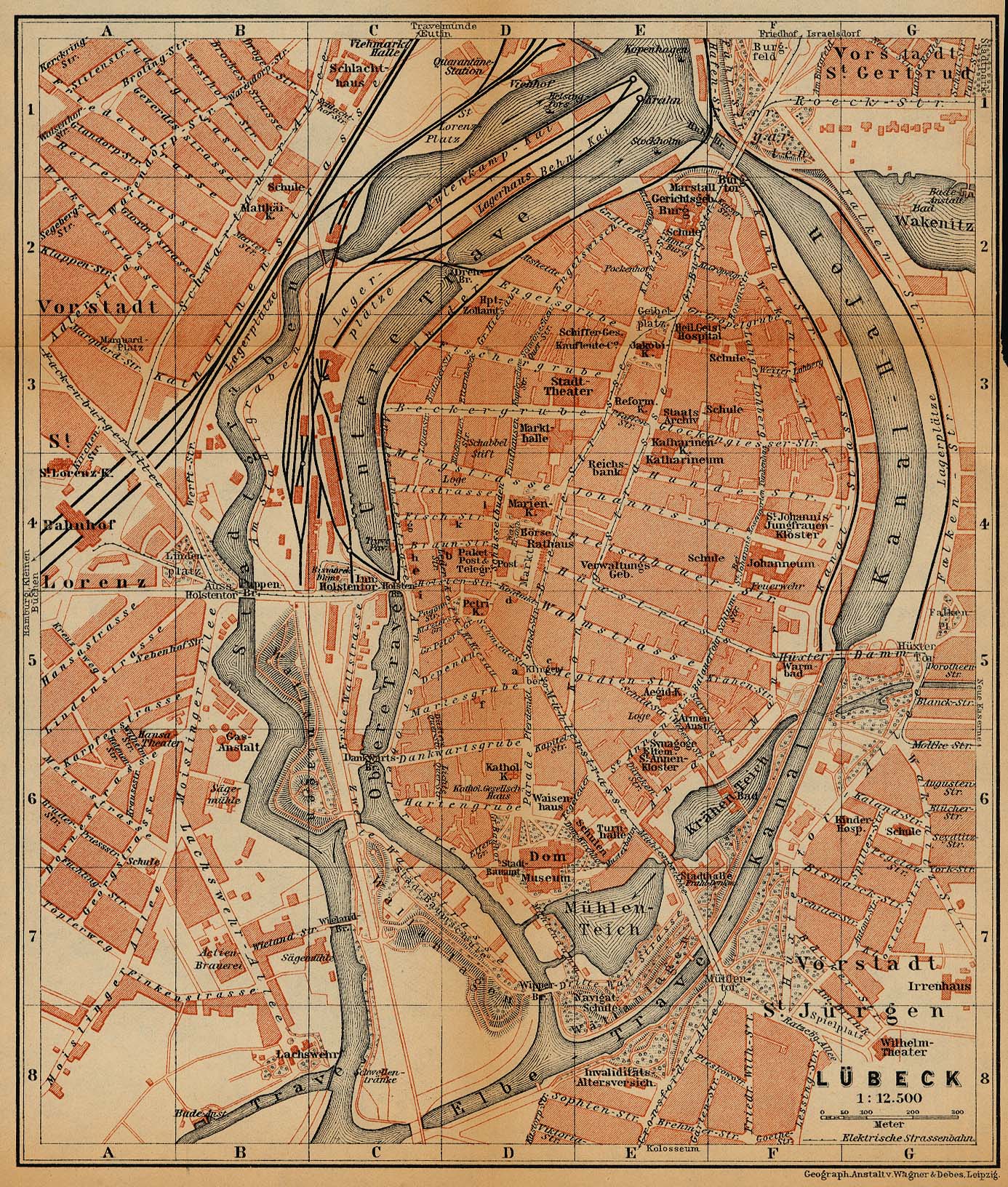
Deutsch: Stadtkarte von Lübeck um 1910 vom Baedeker Verlag
English: City Map of Lübeck, Germany, 1910, by Baedeker |
| תאריך יצירה | |
| מקור | http://www.lib.utexas.edu/maps/historical/baedeker_n_germany_1910/lubeck_1910.jpg |
| יוצר | "Northern Germany as far as the Bavarian and Austrian Frontiers; Handbook for Travellers" by Karl Baedeker. Fifteenth Revised Edition. Leipzig, Karl Baedeker; New York, Charles Scribner's Sons 1910. |
| אישורים והיתרים (שימוש חוזר בקובץ זה) |
"Courtesy of the University of Texas Libraries, The University of Texas at Austin." http://www.lib.utexas.edu/maps/map_sites/hist_sites.html |
| גרסאות אחרות |
original is a duplicate of File:Lubeck 1910.jpg |

רישיון
|
יצירה זו נמצאת בנחלת הכלל במדינת המקור ובמדינות אחרות בהם תקופת זכויות היוצרים היא משך חיי היוצר ו-70 שנה (או פחות) מפטירתו.
| |
| הקובץ הזה זוהה כקובץ חופשי מכל מגבלה ידועה תחת חוק זכויות היוצרים, כולל כל הזכויות הקשורות והסמוכות. | |
⧼Abusefilter-links⧽
היסטוריית הקובץ
ניתן ללחוץ על תאריך/שעה כדי לראות את הקובץ כפי שנראה באותו זמן.
| תאריך/שעה | תמונה ממוזערת | ממדים | משתמש | הערה | |
|---|---|---|---|---|---|
| נוכחית | 17:14, 20 בפברואר 2019 | | 1,632 × 1,386 (1.74 מ"ב) | 1970gemini | entschleiert |
| 02:20, 27 במאי 2006 |  | 1,632 × 1,386 (876 ק"ב) | 700 MB | even more | |
| 01:53, 27 במאי 2006 |  | 1,632 × 1,386 (1.15 מ"ב) | 700 MB | tried to remove the stain | |
| 04:56, 23 באפריל 2006 |  | 1,632 × 1,386 (810 ק"ב) | 700 MB | {{Information| |Description=City Map of Lübeck, Germany, 1910 |Source=http://www.lib.utexas.edu/maps/historical/baedeker_n_germany_1910/lubeck_1910.jpg |Date=1910 |Author="Northern Germany as far as the Bavarian and Austrian Frontiers; Handbook for Trave |
שימוש בקובץ
הדף הבא משתמש בקובץ הזה:
שימוש גלובלי בקובץ
אתרי הוויקי השונים הבאים משתמשים בקובץ זה:
- שימוש באתר azb.wikipedia.org
- שימוש באתר ca.wikipedia.org
- שימוש באתר de.wikipedia.org
- שימוש באתר pl.wikipedia.org