קובץ:Croton dam Brian.H Flickr 102843790 9ae9b1a96d o.jpg
אין גרסה ברזולוציה גבוהה יותר.
Croton_dam_Brian.H_Flickr_102843790_9ae9b1a96d_o.jpg (800 × 594 פיקסלים, גודל הקובץ: 96 ק"ב, סוג MIME: image/jpeg)
| זהו קובץ שמקורו במיזם ויקישיתוף. תיאורו בדף תיאור הקובץ המקורי (בעברית) מוצג למטה. |
תקציר
|
 |
רישיון
הקובץ הזה מתפרסם לפי תנאי רישיון קריאייטיב קומונז ייחוס 2.0 כללי.
- הנכם רשאים:
- לשתף – להעתיק, להפיץ ולהעביר את העבודה
- לערבב בין עבודות – להתאים את העבודה
- תחת התנאים הבאים:
- ייחוס – יש לתת ייחוס הולם, לתת קישור לרישיון, ולציין אם נעשו שינויים. אפשר לעשות את זה בכל צורה סבירה, אבל לא בשום צורה שמשתמע ממנה שמעניק הרישיון תומך בך או בשימוש שלך.
| תמונה זו שפורסמה במקור בפליקר, נבדקה ב־Septemeber 9, 2007 על ידי המפעיל או בקר ויקישיתוף Lar, שאישר שהתמונה נמצאה בפליקר תחת הרישיון לעיל בתאריך זה. |
היסטוריית הקובץ
ניתן ללחוץ על תאריך/שעה כדי לראות את הקובץ כפי שנראה באותו זמן.
| תאריך/שעה | תמונה ממוזערת | ממדים | משתמש | הערה | |
|---|---|---|---|---|---|
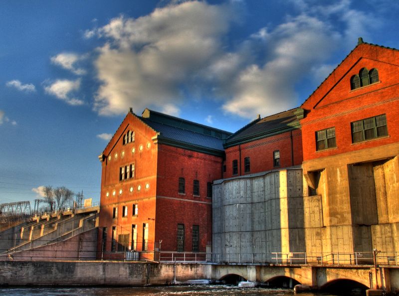
| נוכחית | 19:30, 9 בספטמבר 2007 | | 594 × 800 (96 ק"ב) | Lar | {{Information |Description=(by Brian.H, from the Flickr page) Combo of three handheld images. The left-hand side of this shows where the s/w couldn't match everything up quite right. I really have to remember to throw my tripod in the car! At least I d |
שימוש בקובץ
הדף הבא משתמש בקובץ הזה:
שימוש גלובלי בקובץ
אתרי הוויקי השונים הבאים משתמשים בקובץ זה:
- שימוש באתר ar.wikipedia.org
- שימוש באתר ceb.wikipedia.org
- שימוש באתר cy.wikipedia.org
- שימוש באתר en.wikipedia.org
- שימוש באתר eo.wikipedia.org
- שימוש באתר hu.wikipedia.org
- שימוש באתר hy.wikipedia.org
- שימוש באתר no.wikipedia.org
- שימוש באתר pl.wikipedia.org
- שימוש באתר pt.wikipedia.org
- שימוש באתר ru.wikipedia.org
- שימוש באתר sr.wikipedia.org
- שימוש באתר tt.wikipedia.org
- שימוש באתר ur.wikipedia.org
- שימוש באתר www.wikidata.org