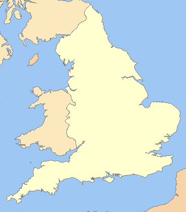
קובץ:England in the uk outline map.png
England_in_the_uk_outline_map.png (369 × 420 פיקסלים, גודל הקובץ: 7 ק"ב, סוג MIME: image/png)
היסטוריית הקובץ
ניתן ללחוץ על תאריך/שעה כדי לראות את הקובץ כפי שנראה באותו זמן.
| תאריך/שעה | תמונה ממוזערת | ממדים | משתמש | הערה | |
|---|---|---|---|---|---|
| נוכחית | 00:16, 20 במרץ 2009 |  | 420 × 369 (7 ק"ב) | Mahahahaneapneap | Compressed |
| 09:59, 11 ביולי 2008 |  | 420 × 369 (11 ק"ב) | Chandler~commonswiki | zoomed in | |
| 08:23, 11 ביולי 2008 |  | 800 × 600 (25 ק"ב) | Chandler~commonswiki | {{Information |Description={{en|1=A blank map of the England, inside the United Kingdom}} |Source=Image:Uk_outline_map.png |Author=ChrisO modified by User:Xhandler |Date= |Permission= |other_versions= }} {{ImageUpload|full}} [[Cat |
שימוש בקובץ
הדף הבא משתמש בקובץ הזה:
שימוש גלובלי בקובץ
אתרי הוויקי השונים הבאים משתמשים בקובץ זה:
- שימוש באתר cy.wikipedia.org
- שימוש באתר de.wikipedia.org
- שימוש באתר en.wikipedia.org
- שימוש באתר fr.wikipedia.org
- שימוש באתר pnb.wikipedia.org
- שימוש באתר uk.wikipedia.org
- שימוש באתר zh.wikipedia.org

