קובץ:Europe continents.svg

גודל התצוגה המקדימה הזאת מסוג PNG של קובץ ה־SVG הזה: 800 × 520 פיקסלים. רזולוציות אחרות: 320 × 208 פיקסלים | 640 × 416 פיקסלים | 1,024 × 666 פיקסלים | 1,280 × 832 פיקסלים | 2,560 × 1,664 פיקסלים.
לקובץ המקורי (קובץ SVG, הגודל המקורי: 800 × 520 פיקסלים, גודל הקובץ: 356 ק"ב)
| זהו קובץ שמקורו במיזם ויקישיתוף. תיאורו בדף תיאור הקובץ המקורי (בעברית) מוצג למטה. |
תקציר
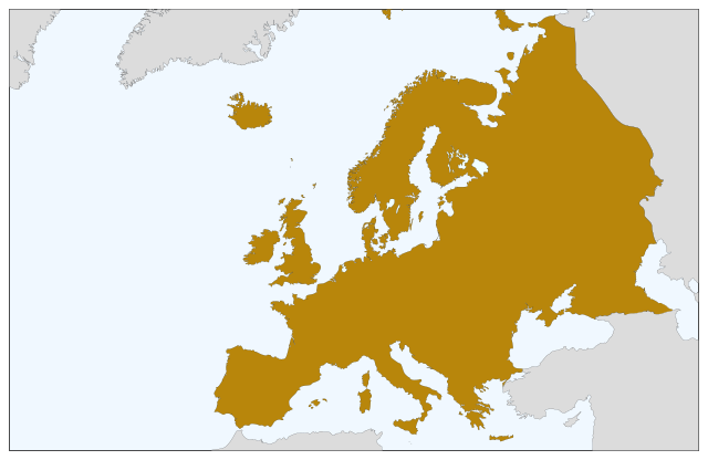
| תיאור | Blank map of Europe, showing only the continents. SVG format. |
| תאריך יצירה | |
| מקור |
קובץ זה הוא יצירה נגזרת של : Europe countries.svg:  |
| יוצר | Júlio Reis |
רישיון
| This map is ineligible for copyright and therefore in the public domain, because it consists entirely of information that is common property and contains no original authorship. For more information, see Commons:Threshold of originality § Maps.
|
היסטוריית הקובץ
ניתן ללחוץ על תאריך/שעה כדי לראות את הקובץ כפי שנראה באותו זמן.
| תאריך/שעה | תמונה ממוזערת | ממדים | משתמש | הערה | |
|---|---|---|---|---|---|
| נוכחית | 11:04, 5 בספטמבר 2022 | | 520 × 800 (356 ק"ב) | Рагин1987 | Correction |
| 22:35, 30 באוגוסט 2022 |  | 1,664 × 2,560 (496 ק"ב) | Рагин1987 | More correct visualization of the dividing line on the territory of the Caucasus Range | |
| 13:50, 23 במאי 2006 |  | 520 × 800 (305 ק"ב) | Tintazul | {{Tintazul| |Description=Blank map of Europe, showing only the continents. SVG format. |Date=19 May 2006 |Source=Image:Europe countries.svg }} Category:Maps of Europe |
שימוש בקובץ
![]() אין בוויקיפדיה דפים המשתמשים בקובץ זה.
אין בוויקיפדיה דפים המשתמשים בקובץ זה.
שימוש גלובלי בקובץ
אתרי הוויקי השונים הבאים משתמשים בקובץ זה:
- שימוש באתר sv.wikipedia.org