קובץ:OttomanEmpire1801.jpg
לקובץ המקורי (1,638 × 1,296 פיקסלים, גודל הקובץ: 605 ק"ב, סוג MIME: image/jpeg)
| זהו קובץ שמקורו במיזם ויקישיתוף. תיאורו בדף תיאור הקובץ המקורי (בעברית) מוצג למטה. |

תקציר
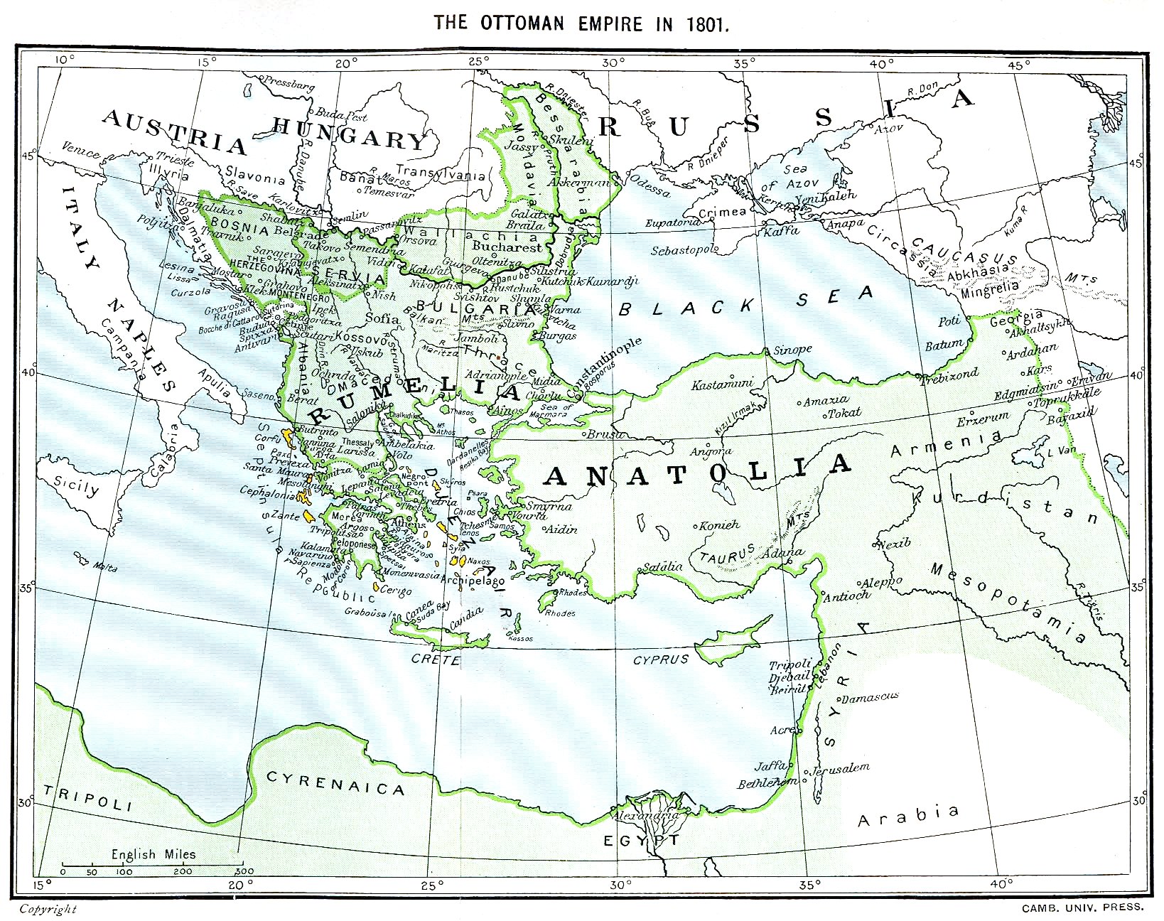
Ottoman Empire (green) and Septinsular Republic (yellow) in 1801.
רישיון
|
יצירה זו נמצאת בנחלת הכלל במדינת המקור ובמדינות אחרות בהם תקופת זכויות היוצרים היא משך חיי היוצר ו-70 שנה (או פחות) מפטירתו.
| |
| הקובץ הזה זוהה כקובץ חופשי מכל מגבלה ידועה תחת חוק זכויות היוצרים, כולל כל הזכויות הקשורות והסמוכות. | |
היסטוריית הקובץ
ניתן ללחוץ על תאריך/שעה כדי לראות את הקובץ כפי שנראה באותו זמן.
| תאריך/שעה | תמונה ממוזערת | ממדים | משתמש | הערה | |
|---|---|---|---|---|---|
| נוכחית | 19:06, 11 בינואר 2023 | | 1,296 × 1,638 (605 ק"ב) | Enyavar | Reverted to version as of 08:56, 11 March 2006 (UTC) --> even if they are wrong, don't change historical maps! |
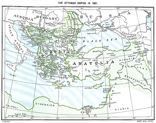
| 20:48, 3 בפברואר 2014 |  | 1,296 × 1,638 (518 ק"ב) | Spiridon Ion Cepleanu | Some little changes according with the 1801 situation : The Septinsular Rep. includes Ionian Is., not the Cyclades, Serbia became autonomous 1817... | |
| 11:56, 11 במרץ 2006 |  | 1,296 × 1,638 (605 ק"ב) | Julo | Ottoman Empire (green) & Septinsular Republic (yellow) in 1801, on the 19th century map {{PD-old}} category:19th century mapsCategory:Historical maps of the Middle EastCategory:Historical maps of the Balkans[[Category:Historical maps of Africa |
שימוש בקובץ
![]() אין בוויקיפדיה דפים המשתמשים בקובץ זה.
אין בוויקיפדיה דפים המשתמשים בקובץ זה.
שימוש גלובלי בקובץ
אתרי הוויקי השונים הבאים משתמשים בקובץ זה:
- שימוש באתר azb.wikipedia.org
- שימוש באתר ba.wikipedia.org
- שימוש באתר el.wikipedia.org
- שימוש באתר en.wikipedia.org
- שימוש באתר fr.wikipedia.org
- שימוש באתר hy.wikipedia.org
- שימוש באתר la.wikipedia.org
- שימוש באתר pl.wikipedia.org
- שימוש באתר sq.wikipedia.org
- שימוש באתר sv.wikipedia.org
- שימוש באתר uk.wikipedia.org