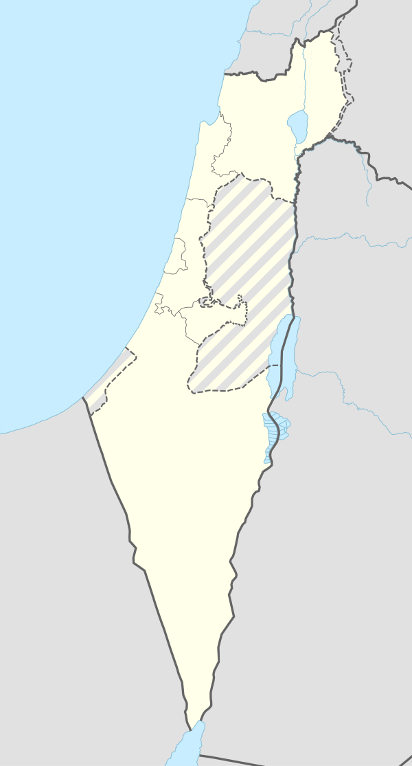
ח'ירבת זלפה
ח'רבת זלפה (בערבית: خربة زلفة) היה כפר ערבי שהתקיים באדמות המישור של עתיל בקרבת קיבוץ גבעת חיים איחוד בנפת טולכרם.
| טריטוריה |
|
|---|---|
| גובה | 25 מטרים |
| אוכלוסייה | |
| ‑ ביישוב לשעבר | 210 |
| קואורדינטות | 32°24′09″N 34°56′44″E / 32.40252778°N 34.94554444°E |
הכפר נוסד במאה ה-19 בידי פלאחים מכפר האם עתיל שבהרי השומרון.[1][2]
במפקד הבריטי שנערך בשנת 1922 נמנו בכפר 63 נפשות: 30 גברים ו-33 נשים, כולם מוסלמים.[3] במפקד שנערך ב-1931 נמנה הכפר עם אוכלוסיית עתיל ולא נמסרו נתונים נפרדים.[4]
הכפר פונה מתושביו במהלך מלחמת העצמאות.[5]
קישורים חיצוניים
עריכההערות שוליים
עריכה- ^ Conder, C.R; Kitchener, H.H. (1882). The Survey of Western Palestine: Memoirs of the Topography, Orography, Hydrography, and Archaeology. Vol. 2: Samaria, London: Committee of the Palestine Exploration Fund, p. 153
- ^ Roy Marom, מרום, רועי, הפרכת השממה ההתיישבות הערבית המתרחבת בשרון ובמערב הר שכם, 1948 1700, חיפה, 2022 (עבודת דוקטורט) Dispelling Desolation: The Expansion of Arab Settlement in the Sharon Plain and the Western Part of Jabal Nablus, 1700-1948 (PhD dissertation), הפרכת השממה ההתיישבות הערבית המתרחבת בשרון ובמערב הר שכ, 2022-01-01, עמ' 173
- ^ Barron, J.B, . Palestine: Report and General Abstracts of the Census of 1922, Government of Palestine., 1923, עמ' table ix
- ^ Mills, E, Census of Palestine 1931. Population of Villages, Towns and Administrative Areas, Jerusalem: Government of Palestine, 1932, עמ' 53
- ^ Sharif S. Elmusa, Muhammad Ali Khalidi, All that Remains: The Palestinian Villages Occupied and Depopulated by Israel in 1948, Institute for Palestine Studies, 1992, עמ' 568, מסת"ב 978-0-88728-224-9. (באנגלית)


